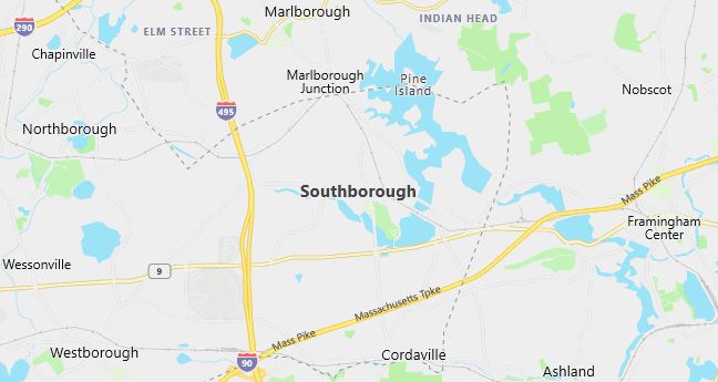
Moving to Southborough, Massachusetts
Population: 8,781. Estimated population in July 2024: 9,559 (+8.9% change)
Males: 4,389 (50.0%), Females: 4,392 (50.0%)
Worcester County
Demographics
Median resident age: 36.9 years
Median household income: $102,986
Median house value: $318,600
Population by Race
Races in Southborough:
- White Non-Hispanic (93.5%)
- Chinese (1.7%)
- Hispanic (1.5%)
- Asian Indian (0.9%)
- Two or more races (0.9%)
- Black (0.5%)
- Other race (0.5%)
Ancestries: Irish (27.9%), English (17.6%), Italian (15.3%), German (8.1%), French (6.8%), Polish (4.5%).
Elevation: 306 feet
Population by Education
For population 25 years and over in Southborough
- High school or higher: 96.4%
- Bachelor’s degree or higher: 63.1%
- Graduate or professional degree: 26.0%
- Unemployed: 1.8%
- Mean travel time to work: 28.3 minutes
For population 15 years and over in Southborough town
- Never married: 17.2%
- Now married: 74.3%
- Separated: 1.0%
- Widowed: 3.4%
- Divorced: 4.1%
8.9% Foreign born (3.9% Europe, 2.8% Asia, 1.3% North America).
Hospitals
Hospitals/medical centers near Southborough:
- MARLBOROUGH HOSPITAL (about 4 miles; MARLBOROUGH, MA)
- WESTBOROUGH ST HOSP DANIELS BLDG (about 7 miles; WESTBOROUGH, MA)
- WHITTIER REHAB HOSPITAL-WESTBOROUGH (about 7 miles; WESTBOROUGH, MA)
Airports
Airports certified for carrier operations nearest to Southborough:
- LAURENCE G HANSCOM FLD (about 21 miles; BEDFORD, MA; Abbreviation: BED)
- WORCESTER REGIONAL (about 24 miles; WORCESTER, MA; Abbreviation: ORH)
- GENERAL EDWARD LAWRENCE LOGAN INTL (about 37 miles; BOSTON, MA; Abbreviation: BOS)
Other public-use airports nearest to Southborough:
- MARLBORO (about 3 miles; MARLBORO, MA; Abbreviation: 9B1)
- MINUTE MAN AIR FIELD (about 10 miles; STOW, MA; Abbreviation: 6B6)
- HOPEDALE INDUSTRIAL PARK (about 15 miles; HOPEDALE, MA; Abbreviation: 1B6)
Amtrak stations near Southborough:
- 8 miles: FRAMINGHAM (443 WAVERLY ST.). Services: public payphones, snack bar, paid short-term parking, taxi stand, public transit connection.
- 19 miles: WORCESTER (WORCHESTER, 45 SHREWSBURY ST.). Services: ticket office, fully wheelchair accessible, enclosed waiting area, public restrooms, public payphones, vending machines, free short-term parking, free long-term parking, call for taxi service, public transit connection.
Colleges and Universities
Colleges/universities with over 2000 students nearest to Southborough:
- FRAMINGHAM STATE COLLEGE (about 8 miles; FRAMINGHAM, MA; Full-time enrollment: 4,185)
- BRANDEIS UNIVERSITY (about 11 miles; WALTHAM, MA; Full-time enrollment: 4,444)
- WELLESLEY COLLEGE (about 18 miles; WELLESLEY, MA; Full-time enrollment: 2,241)
- MASSACHUSETTS BAY COMMUNITY COLLEGE (about 18 miles; WELLESLEY HILLS, MA; Full-time enrollment: 2,938)
- QUINSIGAMOND COMMUNITY COLLEGE (about 19 miles; WORCESTER, MA; Full-time enrollment: 3,359)
- COLLEGE OF THE HOLY CROSS (about 20 miles; WORCESTER, MA; Full-time enrollment: 2,808)
- CLARK UNIVERSITY (about 20 miles; WORCESTER, MA; Full-time enrollment: 2,563)
Private high school in Southborough:
- ST MARKS SCHOOL (Students: 324; Location: 25 MARLBORO RD; Grades: 9 – 12)
Public primary/middle schools in Southborough:
- MARY E FINN SCHOOL (Students: 565; Location: 60 RICHARDS ROAD; Grades: PK – 02)
- MARGARET A NEARY (Students: 539; Location: 53 PARKERVILLE ROAD; Grades: 03 – 05)
- P BRENT TROTTIER (Students: 503; Location: 49 PARKERVILLE RD; Grades: 06 – 08)
Private primary/middle school in Southborough:
- THE FAY SCHOOL (Students: 383; Location: 48 MAIN ST; Grades: 1 – 9)
Libraries
Library in Southborough:
- SOUTHBOROUGH LIBRARY (Operating income: $325,606; Location: 25 MAIN ST.; 62,403 books; 1,238 audio materials; 968 video materials; 110 serial subscriptions)