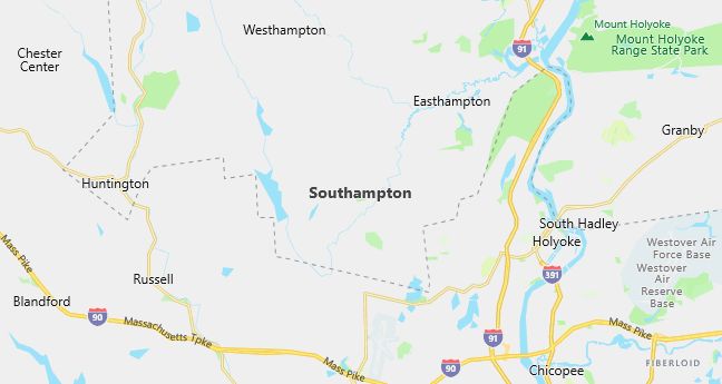
Moving to Southampton, Massachusetts
Population: 5,387. Estimated population in July 2024: 5,841 (+8.4% change)
Males: 2,614 (48.5%), Females: 2,773 (51.5%)
Hampshire County
Demographics
Median resident age: 39.1 years
Median household income: $61,831
Median house value: $155,400
Population by Race
Races in Southampton:
- White Non-Hispanic (97.7%)
- Hispanic (0.9%)
- Two or more races (0.5%)
Ancestries: Polish (24.8%), Irish (21.1%), French (18.3%), English (13.8%), French Canadian (10.8%), German (10.8%).
Elevation: 230 feet
Population by Education
For population 25 years and over in Southampton
- High school or higher: 90.9%
- Bachelor’s degree or higher: 31.3%
- Graduate or professional degree: 11.4%
- Unemployed: 4.2%
- Mean travel time to work: 24.8 minutes
For population 15 years and over in Southampton town
- Never married: 22.2%
- Now married: 63.7%
- Separated: 1.9%
- Widowed: 5.0%
- Divorced: 7.2%
4.0% Foreign born (2.5% Europe, 1.1% Latin America, 0.4% North America).
Hospitals
Hospitals/medical centers near Southampton:
- NOBLE HOSPITAL (about 7 miles; WESTFIELD, MA)
- WESTERN MASSACHUSETTS HOSP (about 7 miles; WESTFIELD, MA)
- HOLYOKE HOSPITAL INC (about 8 miles; HOLYOKE, MA)
Airports
Airports certified for carrier operations nearest to Southampton:
- BARNES MUNI (about 6 miles; WESTFIELD/SPRINGFIELD, MA; Abbreviation: BAF)
- WESTOVER ARB/METROPOLITAN (about 15 miles; SPRINGFIELD/CHICOPEE, MA; Abbreviation: CEF)
- BRADLEY INTL (about 21 miles; WINDSOR LOCKS, CT; Abbreviation: BDL)
Other public-use airports nearest to Southampton:
- NORTHAMPTON (about 11 miles; NORTHAMPTON, MA; Abbreviation: 7B2)
- SIMSBURY (about 22 miles; SIMSBURY, CT; Abbreviation: 4B9)
- SKYLARK AIRPARK (about 25 miles; WAREHOUSE POINT, CT; Abbreviation: 7B6)
Amtrak stations near Southampton:
- 13 miles: SPRINGFIELD (66 LYMAN ST.). Services: ticket office, partially wheelchair accessible, enclosed waiting area, public restrooms, public payphones, full-service food facilities, snack bar, vending machines, ATM, paid short-term parking, paid long-term parking, call for car rental service, taxi stand, intercity bus service, public transit connection.
- 19 miles: AMHERST (RAILROAD ST.). Services: enclosed waiting area, public payphones, free short-term parking, paid long-term parking, call for car rental service, call for taxi service, public transit connection.
Colleges and Universities
Colleges/universities with over 2000 students nearest to Southampton:
- HOLYOKE COMMUNITY COLLEGE (about 8 miles; HOLYOKE, MA; Full-time enrollment: 3,747)
- SMITH COLLEGE (about 9 miles; NORTHAMPTON, MA; Full-time enrollment: 3,053)
- WESTFIELD STATE COLLEGE (about 9 miles; WESTFIELD, MA; Full-time enrollment: 4,058)
- MOUNT HOLYOKE COLLEGE (about 11 miles; SOUTH HADLEY, MA; Full-time enrollment: 2,029)
- UNIVERSITY OF MASSACHUSETTS-AMHERST (about 12 miles; AMHERST, MA; Full-time enrollment: 21,468)
- SPRINGFIELD TECHNICAL COMMUNITY COLLEGE (about 14 miles; SPRINGFIELD, MA; Full-time enrollment: 4,026)
- SPRINGFIELD COLLEGE (about 15 miles; SPRINGFIELD, MA; Full-time enrollment: 4,176)
Public primary/middle school in Southampton:
- WILLIAM E NORRIS (Students: 546; Location: 34 POMEROY MEADOW RD; Grades: PK – 06)
Libraries
Library in Southampton:
- EDWARDS LIBRARY (Operating income: $88,782; Location: 30 EAST STREET; 26,501 books; 316 audio materials; 846 video materials; 45 serial subscriptions)