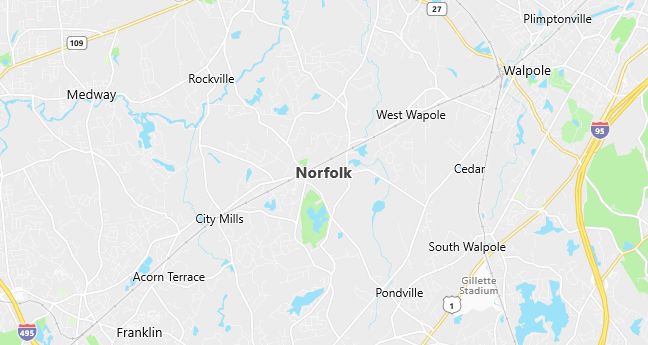
Moving to Norfolk, Massachusetts
Population: 10,460. Estimated population in July 2024: 10,490 (+0.3% change)
Males: 6,149 (58.8%), Females: 4,311 (41.2%)
Norfolk County
Demographics
Median resident age: 37.4 years
Median household income: $86,153
Median house value: $271,700
Population by Race
Races in Norfolk:
- White Non-Hispanic (87.9%)
- Black (4.9%)
- Hispanic (4.9%)
- Other race (3.4%)
- Two or more races (1.2%)
- American Indian (0.7%)
Ancestries: Irish (34.0%), Italian (17.5%), English (15.1%), German (8.4%), French (5.7%), Swedish (4.4%).
Elevation: 212 feet
Population by Education
For population 25 years and over in Norfolk
- High school or higher: 86.4%
- Bachelor’s degree or higher: 37.9%
- Graduate or professional degree: 14.1%
- Unemployed: 2.2%
- Mean travel time to work: 33.9 minutes
For population 15 years and over in Norfolk town
- Never married: 25.8%
- Now married: 61.3%
- Separated: 1.4%
- Widowed: 3.8%
- Divorced: 7.7%
8.1% Foreign born (3.1% Latin America, 2.4% Europe, 1.5% Asia).
Hospitals
Hospital/medical center in Norfolk:
- CARITAS SOUTHWOOD HOSPITAL (111 DEDHAM STREET)
Other hospitals/medical centers near Norfolk:
- MEDFIELD STATE HOSPITAL (about 5 miles; MEDFIELD, MA)
- CARITAS NORWOOD HOSPITAL, INC (about 10 miles; NORWOOD, MA)
- WESTWOOD PEMBROKE HEALTH SYSTEMS (about 11 miles; WESTWOOD, MA)
Airports
Airports certified for carrier operations nearest to Norfolk:
- LAURENCE G HANSCOM FLD (about 25 miles; BEDFORD, MA; Abbreviation: BED)
- GENERAL EDWARD LAWRENCE LOGAN INTL (about 28 miles; BOSTON, MA; Abbreviation: BOS)
- THEODORE FRANCIS GREEN STATE (about 29 miles; PROVIDENCE, RI; Abbreviation: PVD)
Other public-use airports nearest to Norfolk:
- NORFOLK (about 3 miles; NORFOLK, MA; Abbreviation: 32M)
- NORWOOD MEMORIAL (about 12 miles; NORWOOD, MA; Abbreviation: OWD)
- HOPEDALE INDUSTRIAL PARK (about 13 miles; HOPEDALE, MA; Abbreviation: 1B6)
Amtrak stations near Norfolk:
- 13 miles: FRAMINGHAM (443 WAVERLY ST.). Services: public payphones, snack bar, paid short-term parking, taxi stand, public transit connection.
- 14 miles: ROUTE 128 (WESTWOOD, UNIVERSITY AVE. & RTE. 128). Services: ticket office, enclosed waiting area, public restrooms, public payphones, vending machines, paid short-term parking, taxi stand, public transit connection.
Colleges and Universities
Colleges/universities with over 2000 students nearest to Norfolk:
- WELLESLEY COLLEGE (about 14 miles; WELLESLEY, MA; Full-time enrollment: 2,241)
- MASSACHUSETTS BAY COMMUNITY COLLEGE (about 14 miles; WELLESLEY HILLS, MA; Full-time enrollment: 2,938)
- FRAMINGHAM STATE COLLEGE (about 16 miles; FRAMINGHAM, MA; Full-time enrollment: 4,185)
- BABSON COLLEGE (about 17 miles; WELLESLEY, MA; Full-time enrollment: 2,659)
- STONEHILL COLLEGE (about 17 miles; EASTON, MA; Full-time enrollment: 2,374)
- BOSTON COLLEGE (about 18 miles; CHESTNUT HILL, MA; Full-time enrollment: 13,341)
- BENTLEY COLLEGE (about 21 miles; WALTHAM, MA; Full-time enrollment: 4,651)
Public primary/middle schools in Norfolk:
- KING PHILIP REG SCH NORTH (Students: 796; Location: 18 KING STREET; Grades: 07 – 08)
- FREEMAN-CENTENNIAL (Students: 635; Location: 70 BOARDMAN STREET; Grades: 03 – 06)
- H OLIVE DAY (Students: 549; Location: 232 MAIN STREET; Grades: PK – 02)
Libraries
Library in Norfolk:
- NORFOLK PUBLIC LIBRARY (Operating income: $355,235; Location: 139 MAIN ST.; 46,267 books; 3,431 audio materials; 3,297 video materials; 155 serial subscriptions)