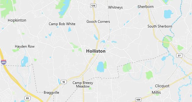
Moving to Holliston, Massachusetts
Population: 13,801. Estimated population in July 2024: 13,847 (+0.3% change)
Males: 6,770 (49.1%), Females: 7,031 (50.9%)
Middlesex County
Demographics
Median resident age: 38.2 years
Median household income: $78,092
Median house value: $237,100
Population by Race
Races in Holliston:
- White Non-Hispanic (95.7%)
- Hispanic (1.4%)
- Black (0.9%)
- Two or more races (0.8%)
Ancestries: Irish (29.4%), Italian (18.3%), English (17.8%), German (9.7%), French (5.6%), Polish (5.6%).
Elevation: 188 feet
Population by Education
For population 25 years and over in Holliston
- High school or higher: 96.9%
- Bachelor’s degree or higher: 50.8%
- Graduate or professional degree: 18.8%
- Unemployed: 2.9%
- Mean travel time to work: 32.2 minutes
For population 15 years and over in Holliston town
- Never married: 20.5%
- Now married: 67.1%
- Separated: 1.2%
- Widowed: 4.6%
- Divorced: 6.6%
5.3% Foreign born (1.7% Europe, 1.3% Latin America, 1.2% North America, 1.0% Asia).
Hospitals
Hospitals/medical centers near Holliston:
- MILFORD WHITINSVILLE REG HOSPITAL (about 8 miles; MILFORD, MA)
- METROWEST MEDICAL CENTER (about 9 miles; FRAMINGHAM, MA)
- MEDFIELD STATE HOSPITAL (about 9 miles; MEDFIELD, MA)
Airports
Airports certified for carrier operations nearest to Holliston:
- LAURENCE G HANSCOM FLD (about 21 miles; BEDFORD, MA; Abbreviation: BED)
- WORCESTER REGIONAL (about 31 miles; WORCESTER, MA; Abbreviation: ORH)
- GENERAL EDWARD LAWRENCE LOGAN INTL (about 32 miles; BOSTON, MA; Abbreviation: BOS)
Other public-use airports nearest to Holliston:
- NORFOLK (about 8 miles; NORFOLK, MA; Abbreviation: 32M)
- HOPEDALE INDUSTRIAL PARK (about 9 miles; HOPEDALE, MA; Abbreviation: 1B6)
- MARLBORO (about 11 miles; MARLBORO, MA; Abbreviation: 9B1)
Amtrak stations near Holliston:
- 6 miles: FRAMINGHAM (443 WAVERLY ST.). Services: public payphones, snack bar, paid short-term parking, taxi stand, public transit connection.
- 20 miles: ROUTE 128 (WESTWOOD, UNIVERSITY AVE. & RTE. 128). Services: ticket office, enclosed waiting area, public restrooms, public payphones, vending machines, paid short-term parking, taxi stand, public transit connection.
Colleges and Universities
Colleges/universities with over 2000 students nearest to Holliston:
- FRAMINGHAM STATE COLLEGE (about 9 miles; FRAMINGHAM, MA; Full-time enrollment: 4,185)
- WELLESLEY COLLEGE (about 13 miles; WELLESLEY, MA; Full-time enrollment: 2,241)
- MASSACHUSETTS BAY COMMUNITY COLLEGE (about 13 miles; WELLESLEY HILLS, MA; Full-time enrollment: 2,938)
- BRANDEIS UNIVERSITY (about 18 miles; WALTHAM, MA; Full-time enrollment: 4,444)
- BENTLEY COLLEGE (about 20 miles; WALTHAM, MA; Full-time enrollment: 4,651)
- BOSTON COLLEGE (about 20 miles; CHESTNUT HILL, MA; Full-time enrollment: 13,341)
- BRYANT COLLEGE (about 22 miles; SMITHFIELD, RI; Full-time enrollment: 2,926)
Schools
Public high school in Holliston:
- HOLLISTON HIGH (Students: 854; Location: 370 HOLLIS STREET; Grades: 09 – 12)
Public primary/middle schools in Holliston:
- PLACENTINO ELEMENTARY (Students: 786; Location: 235 WOODLAND STREET; Grades: PK – 03)
- ROBERT H. ADAMS MIDDLE SCHOOL (Students: 772; Location: 323 WOODLAND STREET; Grades: 06 – 08)
- MILLER SCHOOL (Students: 705; Location: 235 WOODLAND STREET; Grades: 03 – 05)
Libraries
Library in Holliston:
- HOLLISTON PUBLIC LIBRARY (Operating income: $424,618; Location: 752 WASHINGTON ST.; 55,565 books; 2,304 audio materials; 1,364 video materials; 157 serial subscriptions)