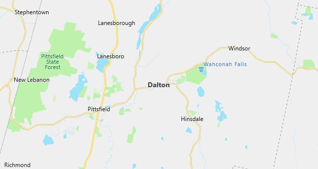
Moving to Dalton, Massachusetts
Population: 6,892. Estimated population in July 2024: 6,700 (-2.8% change)
Males: 3,293 (47.8%), Females: 3,599 (52.2%)
Berkshire County
Demographics
Median resident age: 40.1 years
Median household income: $47,891
Median house value: $114,200
Population by Race
Races in Dalton:
- White Non-Hispanic (97.3%)
- Hispanic (1.0%)
- Black (0.5%)
Ancestries: Irish (28.0%), Italian (18.0%), English (17.8%), German (14.8%), French (10.1%), Polish (7.7%).
Elevation: 1199 feet
Population by Education
For population 25 years and over in Dalton
- High school or higher: 90.0%
- Bachelor’s degree or higher: 28.0%
- Graduate or professional degree: 12.0%
- Unemployed: 2.0%
- Mean travel time to work: 17.7 minutes
For population 15 years and over in Dalton town
- Never married: 20.7%
- Now married: 57.0%
- Separated: 2.4%
- Widowed: 9.2%
- Divorced: 10.7%
1.7% Foreign born
Hospitals
Hospitals/medical centers near Dalton:
- BERKSHIRE MEDICAL CENTER INC (about 7 miles; PITTSFIELD, MA)
- NORTH ADAMS REGIONAL HOSPITAL (about 16 miles; NORTH ADAMS, MA)
- FAIRVIEW HOSPITAL (about 24 miles; GREAT BARRINGTON, MA)
Airports
Airports certified for carrier operations nearest to Dalton:
- BARNES MUNI (about 40 miles; WESTFIELD/SPRINGFIELD, MA; Abbreviation: BAF)
- ALBANY INTL (about 48 miles; ALBANY, NY; Abbreviation: ALB)
- WESTOVER ARB/METROPOLITAN (about 49 miles; SPRINGFIELD/CHICOPEE, MA; Abbreviation: CEF)
Other public-use airports nearest to Dalton:
- PITTSFIELD MUNI (about 9 miles; PITTSFIELD, MA; Abbreviation: PSF)
- HARRIMAN-AND-WEST (about 15 miles; NORTH ADAMS, MA; Abbreviation: AQW)
- GREAT BARRINGTON (about 26 miles; GREAT BARRINGTON, MA; Abbreviation: GBR)
Amtrak station near Dalton:
- 7 miles: PITTSFIELD (DEPOT ST. BTW NORTH & CENTER STS.). Services: enclosed waiting area, public payphones, free short-term parking, free long-term parking, taxi stand, intercity bus service, public transit connection.
Colleges and Universities
Colleges/universities with over 2000 students nearest to Dalton:
- WILLIAMS COLLEGE (about 16 miles; WILLIAMSTOWN, MA; Full-time enrollment: 2,047)
- WESTFIELD STATE COLLEGE (about 31 miles; WESTFIELD, MA; Full-time enrollment: 4,058)
- UNIVERSITY OF MASSACHUSETTS-AMHERST (about 38 miles; AMHERST, MA; Full-time enrollment: 21,468)
- SMITH COLLEGE (about 38 miles; NORTHAMPTON, MA; Full-time enrollment: 3,053)
- RENSSELAER POLYTECHNIC INSTITUTE (about 39 miles; TROY, NY; Full-time enrollment: 7,150)
- HUDSON VALLEY COMMUNITY COLLEGE (about 39 miles; TROY, NY; Full-time enrollment: 6,337)
- HOLYOKE COMMUNITY COLLEGE (about 42 miles; HOLYOKE, MA; Full-time enrollment: 3,747)
Schools
Public high school in Dalton:
- WAHCONAH REGIONAL HIGH (Students: 787; Location: 150 WINDSOR RD; Grades: 09 – 12)
Public primary/middle schools in Dalton:
- NESSACUS REGIONAL MIDDLE SCHOOL (Students: 584; Location: 35 FOX ROAD; Grades: 06 – 08)
- CRANEVILLE (Students: 479; Location: 71 PARK AVENUE; Grades: KG – 05)
Private primary/middle school in Dalton:
- ST AGNES ELEMENTARY SCHOOL (Students: 230; Location: 30 CARSON AVE; Grades: KG – 8)
Libraries
Library in Dalton:
- DALTON FREE PUBLIC LIBRARY (Operating income: $143,960; Location: 462 MAIN STREET; 39,426 books; 1,047 audio materials; 721 video materials; 81 serial subscriptions)