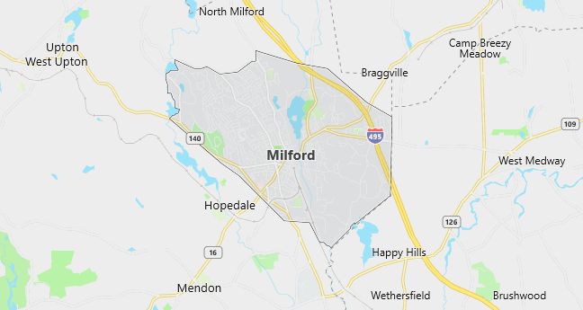
Moving to Milford, Massachusetts
Population: 26,799. Estimated population in July 2024: 27,519 (+2.7% change)
Males: 13,006 (48.5%), Females: 13,793 (51.5%)
Worcester County
Demographics
Median resident age: 36.6 years
Median household income: $50,856
Median house value: $175,600
Population by Race
Races in Milford:
- White Non-Hispanic (90.5%)
- Hispanic (4.4%)
- Other race (2.0%)
- Two or more races (1.8%)
- Black (1.4%)
- Asian Indian (0.9%)
Ancestries: Italian (29.9%), Irish (22.8%), English (10.6%), French (8.0%), Portuguese (7.8%), German (7.2%).
Elevation: 307 feet
Land area: 10.0 square miles
Population by Education
For population 25 years and over in Milford
- High school or higher: 83.9%
- Bachelor’s degree or higher: 26.7%
- Graduate or professional degree: 7.7%
- Unemployed: 3.7%
- Mean travel time to work: 26.5 minutes
For population 15 years and over in Milford town
- Never married: 25.9%
- Now married: 57.3%
- Separated: 1.6%
- Widowed: 6.7%
- Divorced: 8.6%
11.3% Foreign born (5.4% Europe, 3.3% Latin America, 1.5% Asia).
Hospitals
Hospital/medical center in Milford:
- MILFORD WHITINSVILLE REG HOSPITAL (14 PROSPECT STREET)
Other hospitals/medical centers near Milford:
- LANDMARK MEDICAL CENTER INC (about 10 miles; WOONSOCKET, RI)
- WESTBOROUGH ST HOSP DANIELS BLDG (about 11 miles; WESTBOROUGH, MA)
- WHITTIER REHAB HOSPITAL-WESTBOROUGH (about 11 miles; WESTBOROUGH, MA)
Airports
Airports certified for carrier operations nearest to Milford:
- WORCESTER REGIONAL (about 26 miles; WORCESTER, MA; Abbreviation: ORH)
- LAURENCE G HANSCOM FLD (about 28 miles; BEDFORD, MA; Abbreviation: BED)
- THEODORE FRANCIS GREEN STATE (about 31 miles; PROVIDENCE, RI; Abbreviation: PVD)
Other public-use airports nearest to Milford:
- HOPEDALE INDUSTRIAL PARK (about 4 miles; HOPEDALE, MA; Abbreviation: 1B6)
- NORFOLK (about 11 miles; NORFOLK, MA; Abbreviation: 32M)
- MARLBORO (about 13 miles; MARLBORO, MA; Abbreviation: 9B1)
Amtrak station near Milford:
- 12 miles: FRAMINGHAM (443 WAVERLY ST.). Services: public payphones, snack bar, paid short-term parking, taxi stand, public transit connection.
Colleges and Universities
Colleges/universities with over 2000 students nearest to Milford:
- FRAMINGHAM STATE COLLEGE (about 14 miles; FRAMINGHAM, MA; Full-time enrollment: 4,185)
- BRYANT COLLEGE (about 18 miles; SMITHFIELD, RI; Full-time enrollment: 2,926)
- WELLESLEY COLLEGE (about 21 miles; WELLESLEY, MA; Full-time enrollment: 2,241)
- MASSACHUSETTS BAY COMMUNITY COLLEGE (about 21 miles; WELLESLEY HILLS, MA; Full-time enrollment: 2,938)
- BRANDEIS UNIVERSITY (about 22 miles; WALTHAM, MA; Full-time enrollment: 4,444)
- COLLEGE OF THE HOLY CROSS (about 22 miles; WORCESTER, MA; Full-time enrollment: 2,808)
- CLARK UNIVERSITY (about 22 miles; WORCESTER, MA; Full-time enrollment: 2,563)
Public primary/middle schools in Milford:
- MILFORD HIGH (Students: 1,130; Location: 31 WEST FOUNTAIN STREET; Grades: PK – 12)
- STACY MIDDLE (Students: 961; Location: 66 SCHOOL STREET; Grades: 05 – 07)
- WOODLAND (Students: 616; Location: 10 NORTH VINE STREET; Grades: 03 – 04)
- BROOKSIDE (Students: 512; Location: 110 CONGRESS STREET; Grades: KG – 02)
- MEMORIAL (Students: 492; Location: 12-14 WALNUT STREET; Grades: KG – 02)
- MILFORD MIDDLE EAST (Students: 331; Location: 45 MAIN STREET; Grades: 08 – 08)
- SHINING STAR ECC (Students: 143; Location: 31 WEST FOUNTAIN STREET; Grades: PK – PK)
Private primary/middle schools in Milford:
- MILFORD CATHOLIC ELEM SCHOOL (Students: 268; Location: 11 EAST MAIN STREET; Grades: PK – 6)
- EVERGREEN CENTER (Students: 83; Location: 345 FORTUNE BLVD; Grades: UG – UG)
- MILFORD BIBLE BAPTIST ACADEMY (Students: 21; Location: 7 GRANT STREET; Grades: KG – 11)
Libraries
Library in Milford:
- MILFORD TOWN LIBRARY (Operating income: $896,127; Location: 80 SPRUCE STREET; 92,634 books; 2,204 audio materials; 1,343 video materials; 198 serial subscriptions)